
Batur Caldera
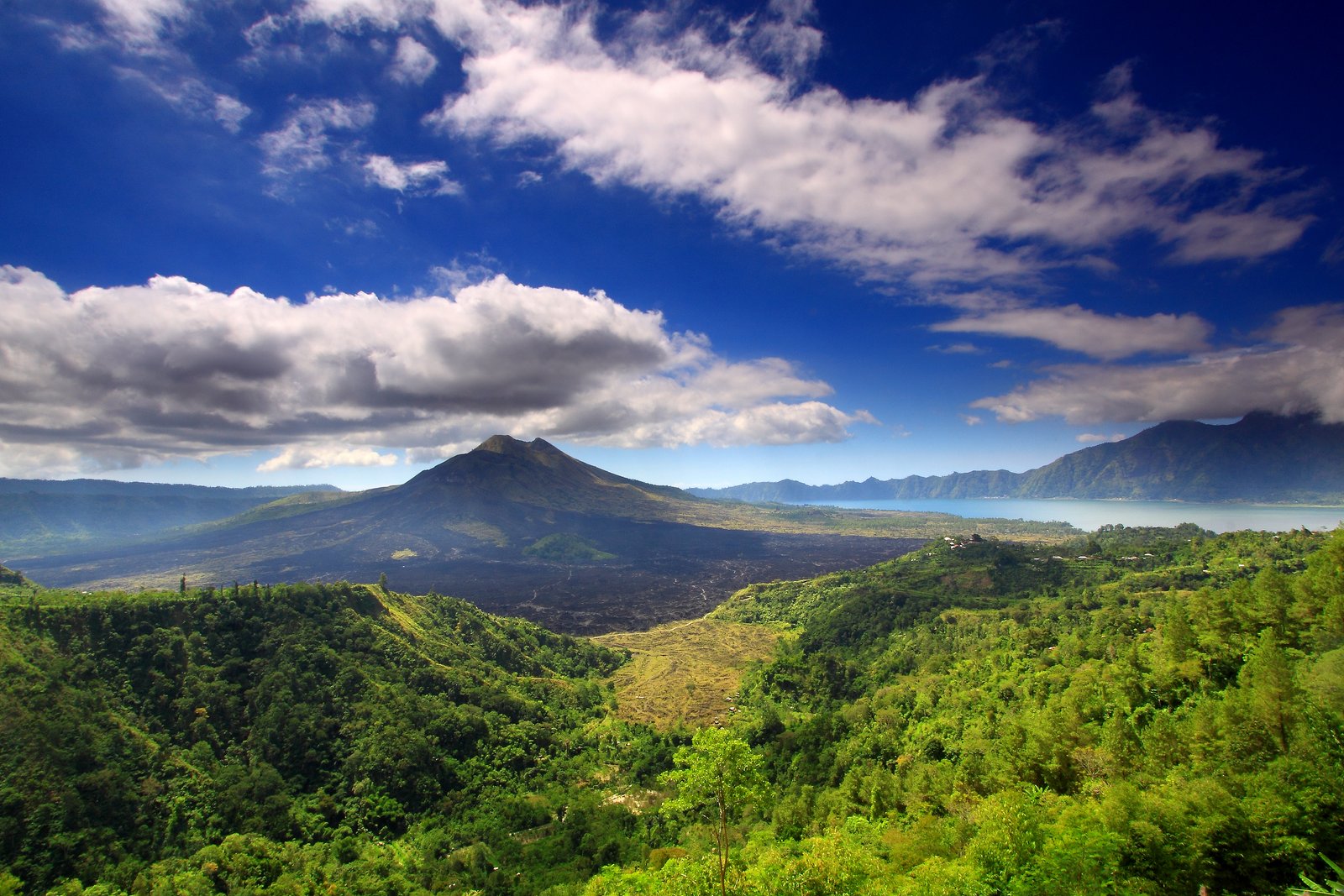
Photo: TropicaLiving / Wikimedia Commons, CC BY-SA 3.0. No editorial changes by BaliFinder; WordPress may generate display sizes. Source photograph dated 2009-06-20.

Batur Caldera is the larger volcanic landscape surrounding the familiar Mount Batur and Lake Batur views. It is best approached as a region to understand and explore, rather than a single attraction with one entrance. A roadside panorama, a guided geological outing and a sunrise trek may all be advertised using the caldera name, yet provide very different experiences. Check the actual route and meeting point before booking.
What does caldera mean here?
A caldera is a large volcanic depression. Batur is especially notable for its nested structure: a smaller caldera within a larger one. UNESCO identifies this arrangement, together with the lake and active volcanic cone, as central to the landscape’s geological significance. The view makes more sense when you distinguish the broad surrounding rim from the younger mountain inside it.
You do not need specialist knowledge to appreciate the landscape. Begin by identifying the rim, cone and water, then notice differences between dark exposed surfaces and cultivated slopes. Looking carefully at these relationships often provides a more memorable visit than collecting photographs from several nearly identical terraces.
Viewpoint, rim walk or summit hike?
Ask an operator exactly what its “caldera tour” includes. A sunrise viewpoint reached by vehicle is not necessarily a mountain summit, while a caldera-rim walk may have a different trailhead and physical demand from Mount Batur. Request the walking distance, approximate ascent, terrain and return arrangements rather than relying on a package name.
For a gentler introduction, use Penelokan and a visit to Batur Geopark Museum. This combination can suit travellers who prefer observation and interpretation to strenuous activity. If your group has different interests, discuss whether everyone can share a viewpoint stop while only some take a longer guided walk.
A geopark includes communities
The geopark concept brings conservation, learning and local livelihoods together. Around Batur, a visitor encounters villages, farming, religious places and tourism businesses within the same landscape. Pay for local services transparently and ask permission before entering fields or crossing land that looks like a convenient shortcut.
Do not collect volcanic stones as souvenirs or build small rock towers for photographs. Leaving geological material in place helps retain the character of the site for other visitors. Follow designated routes and any restrictions at individual geosites; the fact that a broad region welcomes visitors does not mean every slope is open for exploration.
Plan around conditions
The mountain is active, and access advice can change. Check current official volcanic information and local route restrictions when arranging a hike or excursion. A booking made weeks earlier is not evidence that every route remains available on the day. Weather and religious observances can also affect plans.
Bring layers, water and suitable footwear for the activity you actually book. Roads descend into the basin and climb back out, so map distance alone can be misleading when allocating time. Choose a few complementary stops rather than crossing repeatedly between the rim and lake. A museum visit, one panorama and a lakeside meal make a coherent introduction.
Is Batur Caldera the same as Mount Batur?
No. Mount Batur is one feature within the much larger caldera landscape. Check the precise destination when comparing tours.
Do I need to hike to appreciate the caldera?
No. Viewpoints and interpretation stops provide an accessible way to understand its shape. Individual venues still vary in steps and access.
Sources: UNESCO: Batur Global Geopark and Geological Agency: Batur’s nested caldera.
Photo: TropicaLiving / Wikimedia Commons, CC BY-SA 3.0. No editorial changes by BaliFinder; WordPress may generate display sizes. Source photograph dated 2009-06-20.